After a pretty short day of riding and seeing the sights of Southwest South Dakota, I woke up on Thursday with a plan to take on a much longer day of riding. Today, the goal was to ride in three states, starting in Rapid City, South Dakota and traveling through Wyoming and Northern Colorado to finish my day in Steamboat Springs, for a planned distance of 442 miles (711 km). It wasn’t to be just a long day of riding, I also planned to visit a few of the South Dakotan sights along the way.
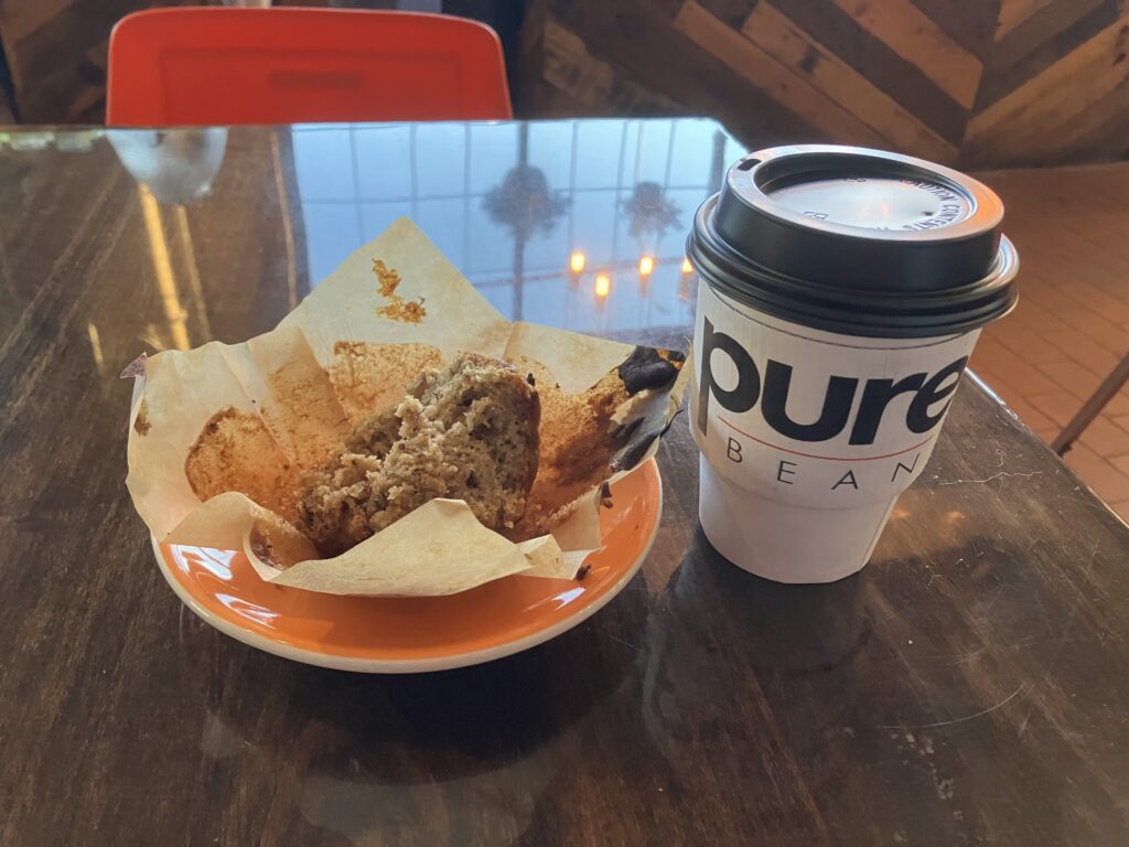
I was up early, but with my motel not offering any breakfast, I had to wait until the coffee shop around the corner was open at 7:00 to grab my morning caffeine and a muffin. This was fine, since my first stop of the day was going to be at the Mount Rushmore National Memorial, only 40 minutes away, and that didn’t open until 8:00. I had a great coffee at the Pure Bean Coffeehouse, and was very impressed with the crocheted sweater one of the baristas had made for the other, somehow in only a day. I’ve heard of knitting quick, but a whole sweater?! I don’t know a lot about knitting so if any reader does, please let me know, that seems like quite a feat! It was a pretty cool-looking cozy green sweater with an eyeball on it.
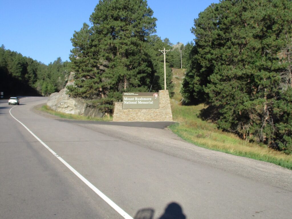
I departed the coffeehouse and walked back to the motel to grab my jacket and jump on the bike. I still had lots of fuel having just gassed up only about 60 miles up the road in Wall, so it was immediately out onto US-16 heading southbound toward Mount Rushmore! The road climbed up into the Black Hills, past all kinds of tourist attractions. The area around Mount Rushmore seemed to be pretty heavily commercialized. Not far up the highway, I pulled off at a weird interchange, through a little tourist town of Keystone, South Dakota and was looking for parking in the structure at Mount Rushmore National Memorial.

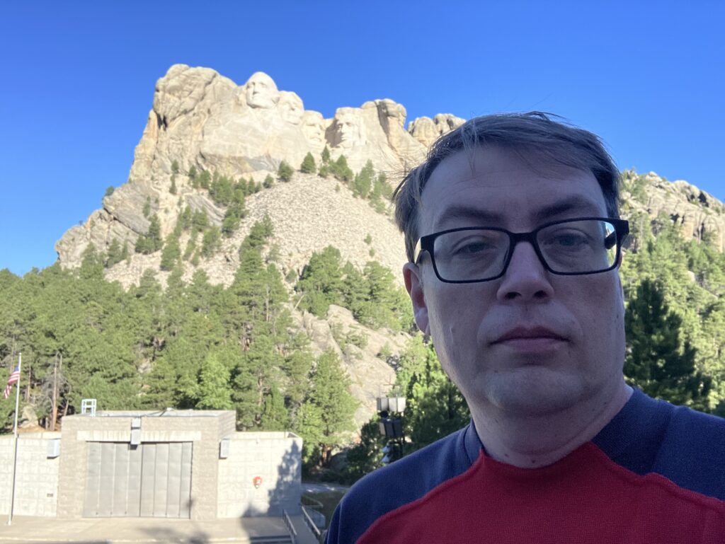
Seeing the president’s faces carved into the peaks for the Black Hills was pretty impressive. The Captain had told me they were smaller in person than he’d thought they might be. I don’t know that I agree. They were pretty big, just also high up and of far away being near the peak of the mountain. I was lucky to have come so early though, as by the time I’d gotten my national park passport stamped and had a peruse through the gift shop, the place was really starting to fill up with tourists. I really couldn’t handle much more of the gift shop’s twangety-twang vanilla country music anyway, so by 9:00 I was ready to get out of there.
My next stop was Wind Cave National Park. I didn’t know this National Park was here until I was planning my route the night before and consulted my national park passport to find it. I was pretty excited to be able to tour a cave, since I’d never done that before. Another quick jaunt on US-16 to the town of Custer, South Dakota and a stop for gas, then onto US-385 for another few miles and I was into the National Park area. I did take a wrong turn, onto SD-87 and had fun on its twisty sections, including doing a curly-queue on the Pigtail Bridge. This bridge does a full 270º turn around, with the road going back underneath itself after going around! Talk about a hairpin! I got to do the ride back up the other way after I realized I was going the wrong way.
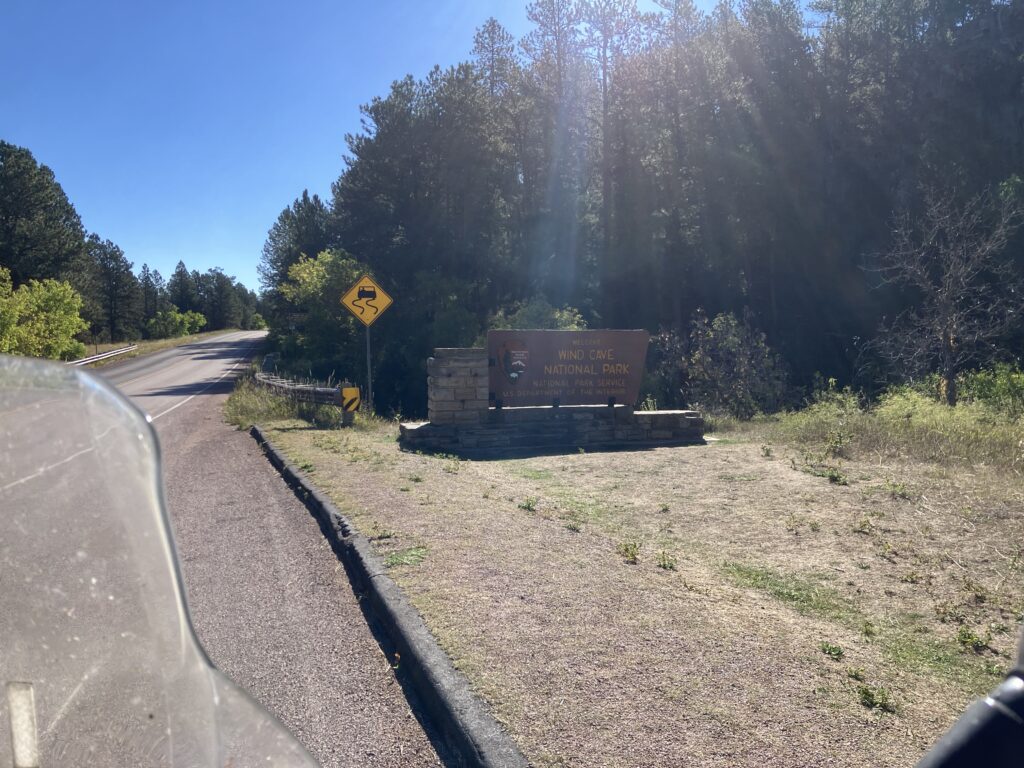
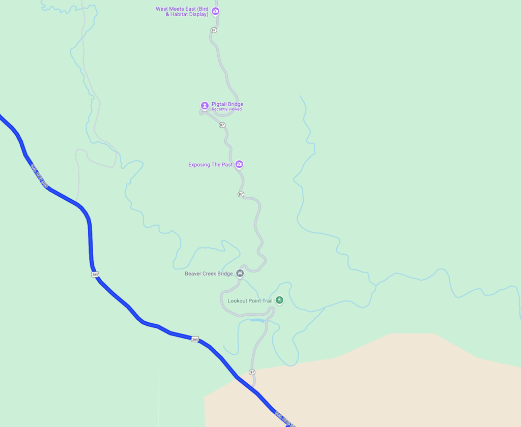
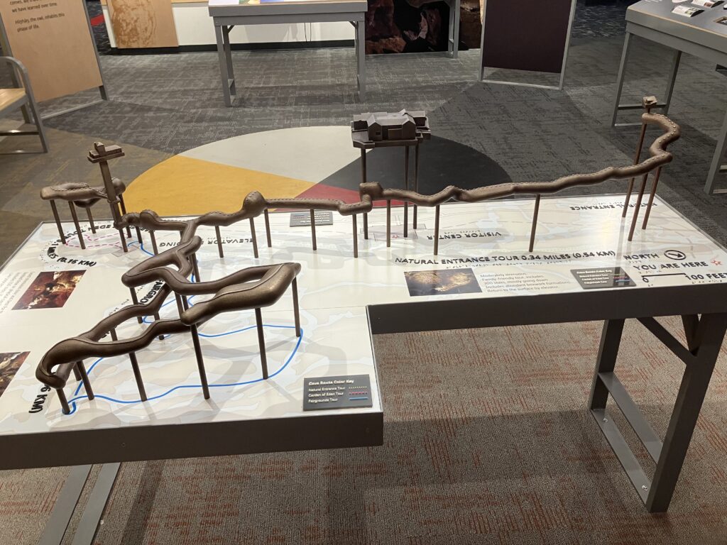
After that, I pulled into the quaint visitors center for Wind Cave National Park, and took some time to tour and take a bit of a walk to the natural cave entrance. When I returned to the visitor center, I asked about taking a tour of the cave with a park ranger. That was when I learned that there was actually no access to the cave, since the park’s elevator was out of service for repairs, and the natural cave entrance was too small to be used by visitors. Bummer. A cave National Park with no way to see the cave. I supposed that was why it really wasn’t busy at the visitors center. Next time, I’d have to remember to check the NPS website before visiting a cave National Park!
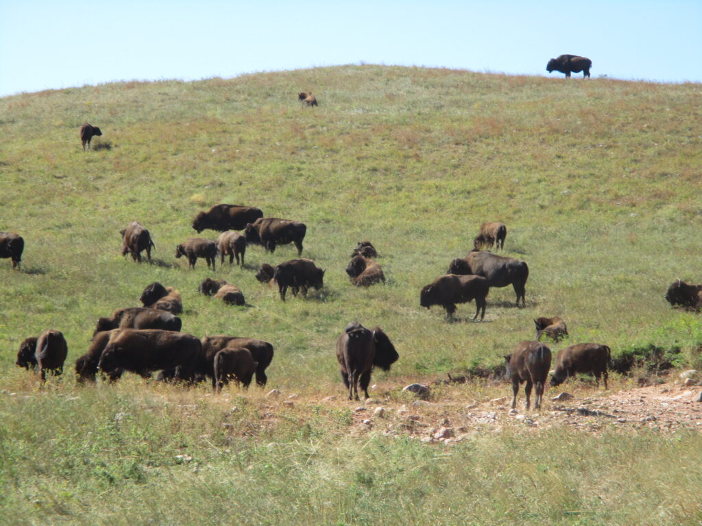
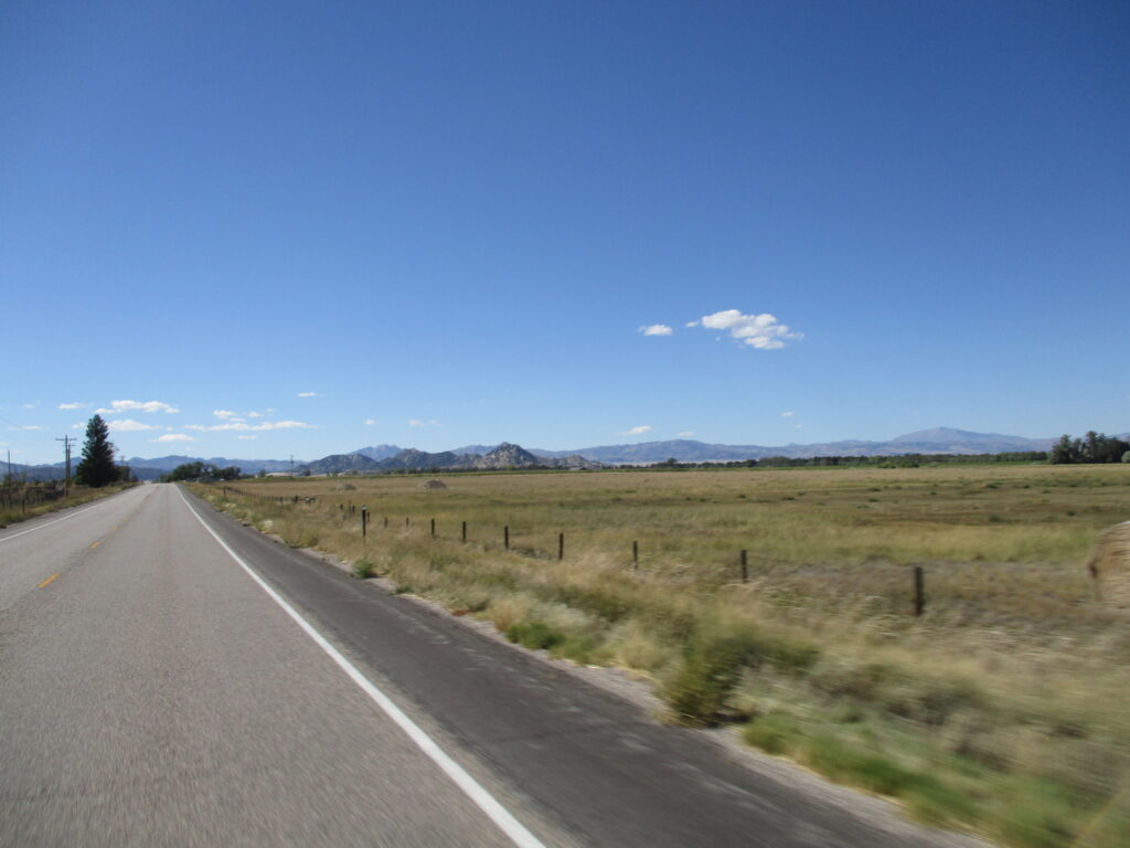
By this point, it was about 11:00, and it was time to start putting miles behind me. I got onto SD-89 southbound, later merging back with US-18 to make my way out of the Black Hills. There were great views at the edge of the mountains looking over the desert prairie of Wyoming as I descended.

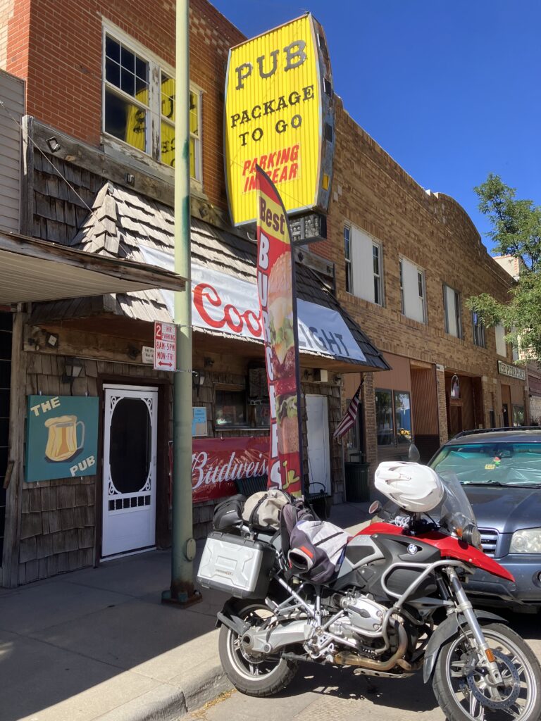
Before long I was down on that barren, empty plain as US-18 met up with US-85. It was about an hour of heading along those roads before I stopped for lunch in Lusk, Wyoming at a spot downtown called The Pub that had a feather banner outside claiming they had the “Best Burgers In Town”. Being in Wyoming, I decided to treat myself to some beef, setting aside my environmentally-conscious preference for avoiding beef. I had a very tasty green chili burger with jack cheese and coleslaw. It was messy, but awesome. If you’re ever in Lusk, Wyoming and hungry, stop in at The Pub!
Back out on the road, my freeway-avoiding guidance took me onto US-18 west before turning off onto WY-270 south. If I thought that US-85 south toward Lusk was empty, it was a veritable traffic jam compared to WY-270. I think I only passed one other car on the 50 miles (80 km) I covered before turning onto US-26 west. At this point, I was nearly at I-25, and my guidance got creative to keep me off the freeway. Eventually, I crossed over the Interstate and ended up on WY-34 heading south toward Laramie, Wyoming. This road was a really fun one, with it twisting in and out of low hills that reminded me of California! Really not what I was expecting riding in Wyoming. The Rocky Mountains also started coming into view and getting closer and closer as I went along.
WY-34 met up with US-30 south and made its way into Laramie, where I stopped to rest my poor butt, get some gas and a snack after having covered another 100 miles (165 km) since lunch in Lusk. By this point, it was about 4:00, and I still had another 120 miles (200 km) to go to make it to Steamboat Springs. Things were looking pretty good though, and I was making good time, so I decided to book myself a hotel in my destination while I enjoyed my break.
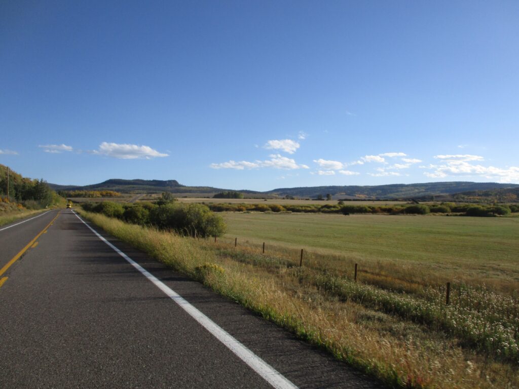
From here, it was onto WY-230 heading southwest toward Colorado. I was starting to get right into the mountains by this point, and the fall colors of the Medicine Bow-Routt National Forest were stunning to ride through. The highway changed to CO-127 as I entered Colorado, and the scenery just kept getting better and better!
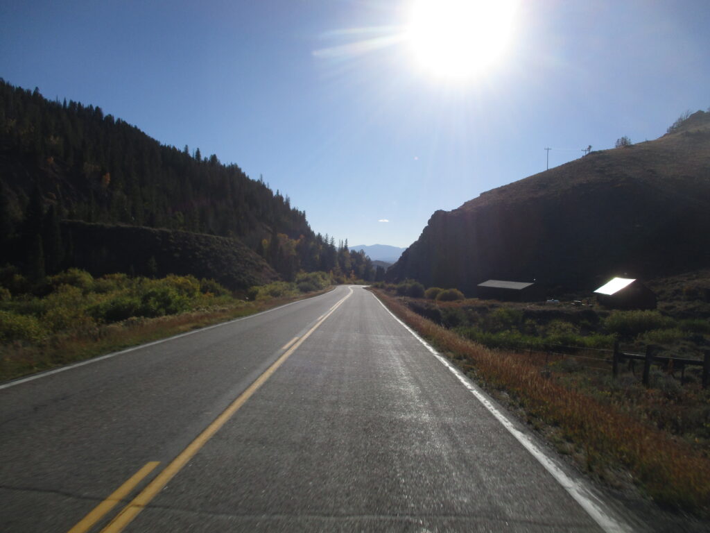
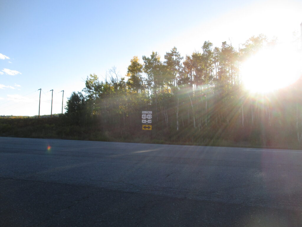
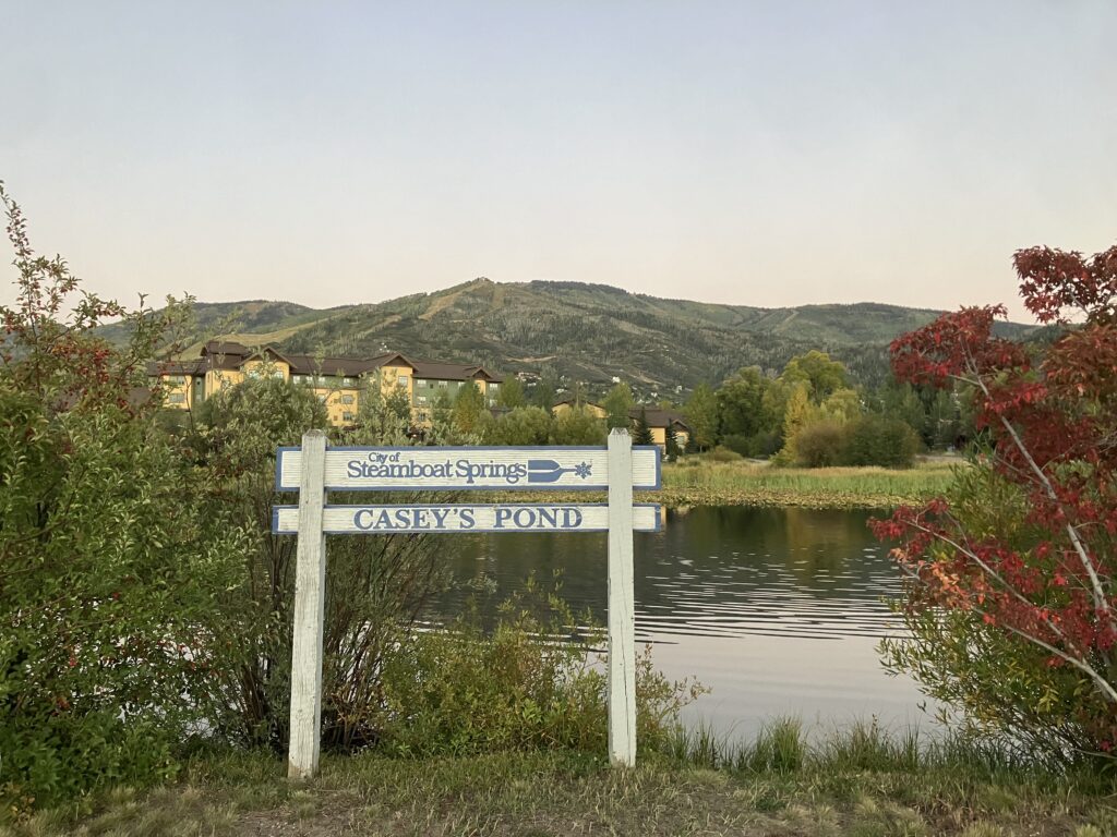
Just outside Walden, Colorado, I turned onto CO-14 as it descended a valley only to climb up a mountain on the far side to meet up with US-40 near the top. US-40 westbound would be my road for a good part of the next day’s ride too, so I was relieved to see it. By this point, it was about 5:30, and the sun was starting to get low in the sky. I shielded my eyes as I crested the continental divide at Rabbit Ears Pass around 9680′ (2950 m). I started descending down toward Steamboat Springs with spectacular views of the valley below with the sun setting.
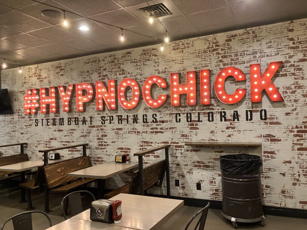
I was all too happy to pull into my hotel’s parking lot around 6:00pm. It had been a great day’s ride, but I was eager to be off the bike to give my butt a rest and have a shower. After a shower and change of clothes, I found a local fried chicken spot, Hypnotic Chicken, in town that I could walk to and took the 35 min walk for a delicious sandwich. I walked back in the dark and after a few moments trying to fight off sleep, trying to compose a blog post, I succumbed to the Quality Hotel’s super-comfy bed and was out like a light.

Binge-read your last three installments, and now I’m caught up. It’s great to be along with you on this wonderful adventure, Mike. I visited many of the same places returning home with my new Harley that I’d picked up in New York 22 years ago . . . oil change in Pierre; leaving camping cabins on the eastern side of the Badlands at 3:30 AM; sunrise in the Badlands and almost running out of gas before finding the Texaco station on the fringe of RapidCity; Mt. Rushmore; Keystone; Custer State Park; and Rabbit Ears Pass and Steamboat Springs. Thanks for sharing your adventure.