With such a nice, warm day before, overnight came with a good amount of dew to dry off the tent, and it took us quite a while to get all packed up and ready to go. While cleaning up, we ran into a bike touring couple who had ridden over to PEI from neighbouring New Brunswick, taking the bicycle shuttle across the Confederation Bridge.
When we finally got the road, we had a great hankering for the Americanos and cinnamon buns we’d had at the coffee shop on town the day before. So off we rode the 8km (5mi) into town for coffee and pastries.

By the time we were done coffees, it was nearly 11:00, and we’d actually only headed the wrong way to make it back to town! We were going to have to nearly double back as we headed out of town. It was going to be a late one!
Our plan for the day was to cover almost 50km on the Confederation Trail heading northbound, before jumping off and heading westbound via highways to get to West Point and our first extremity of PEI.
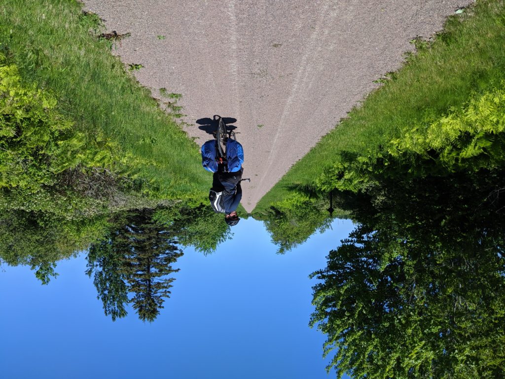
We jumped on the Confederation Trail, right out of downtown Summerside, and with the bright sunshine and low winds, we were feeling great!
After a stretch, with the foot traffic on the trail from town thinning out, we decided to try getting some drone video of the trail, but had absolutely no luck getting it to work. A bit of YouTube and 40 minutes of futzing with it later, we had DJI software on my phone communicating with both the remote and the drone! With that sorted out, I then tried the follow-flight mode with my brother riding down the trail. Everything was looking great, until all of a sudden, the drone veered off the trail and into a tree. Needless to say after all that faff, and with such dismal results, we won’t be messing with the drone much on this trip…
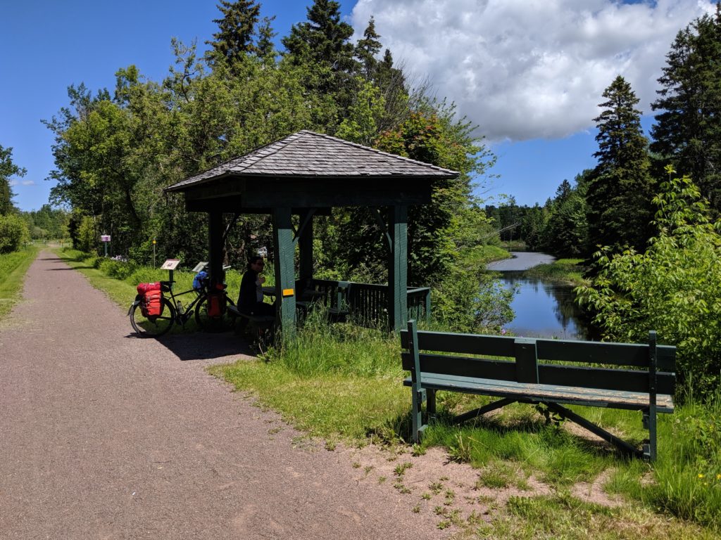
After collecting the drone from the tree we continued on down the trail, with it now nearly 1:00, we started to get hungry, and decided to take a break for lunch at one of the trailside gazebos.

After lunch we continued on the trail for what seemed like an eternity. While rail trails are great for keeping away from car traffic, they’re also pretty straight, flat and devoid of scenery. Also, the Confederation Trail isn’t paved outside of towns, and although it has a great surface of crushed rock, a fully-loaded touring bike tends to dig in enough to make pedaling a slog.

We continued nonetheless, stopping at the gazebos and benches when we got tired. Cross-roads became fewer and less-frequently paved. Eventually, getting more and more weary, we decided to stop at a corner store for a popsicle and ran into some motorcyclists out for a ride from Summerside.

Many mosquito-infested gazebo stops later, we finally made it to our highway crossing and turned West for our final 20km (13mi) stretch to West Point.
With dreams of ice cream dancing in our heads, we were excited to see the wind turbines of the coast in the distance. But what we didn’t realize was that these were some of the biggest wind turbines we’d ever seen, and we still had another 10km (6mi) of riding to go to get to them!
By the time we finally arrived in West Point, we went straight to the sign for ice cream, only to find that the shop wasn’t open for the season yet. That being said, it was right next to an awesome restaurant serving tasty, local Moth Lane Brewery beer.

In addition, they also had one of the tastiest poutines I’ve ever had, a seafood chowder poutine with lobster. It was amazing, but waaaay too much to eat as an appetizer!

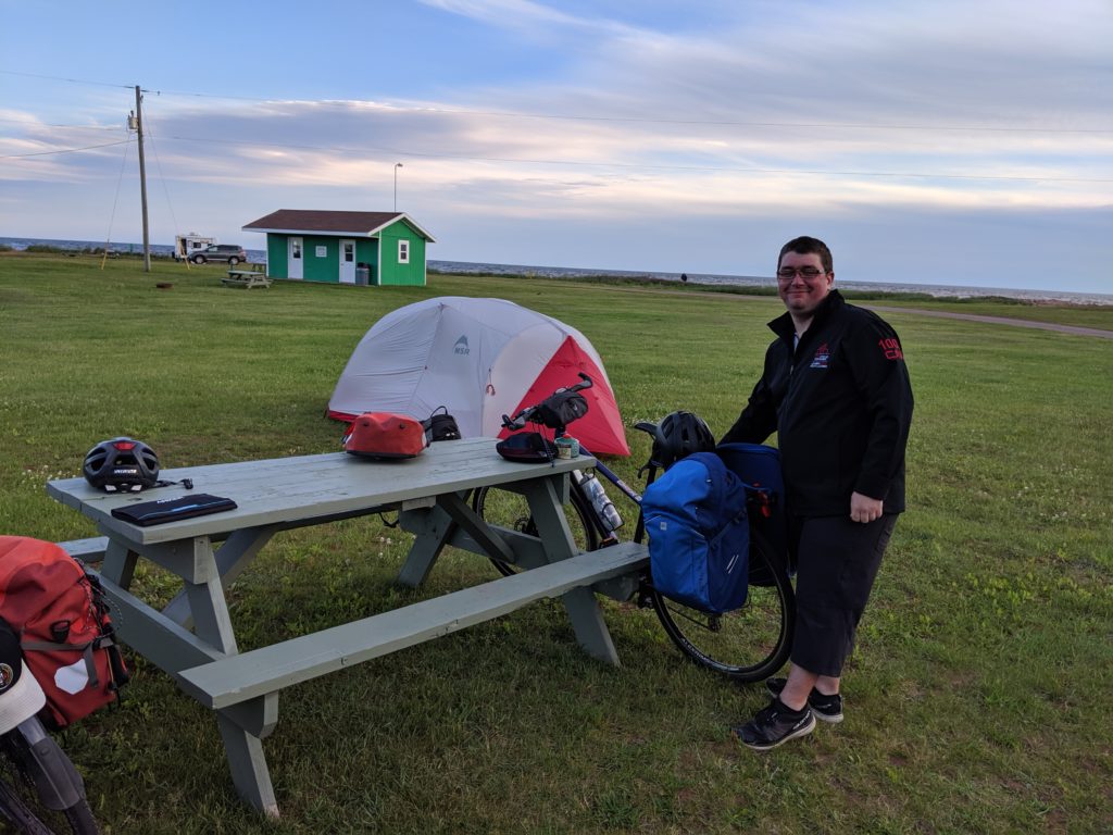
With our bellies full, we made our way to the Cedar Dunes Provincial Park just down the road, and setup camp in the most wind-swept site they had — to keep the mosquitoes away!

We went for a walk to get to our first lighthouse, just around the point from the campground. With that, we had one of our four lighthouses!

Tomorrow’s journey would take us North and across the island from the Northumberland Straight to the Gulf of St. Lawrence side of the island for two nights of camping at Jacques Cartier Provincial Park close to the North Cape lighthouse!
